Are These the Best Hiking Trails in California?
Lonely Planet thinks so.
-
CategoryExperiences, Hidden Gems, Outdoor Adventure, Road Trips, Sights + Stays, Weekender
-
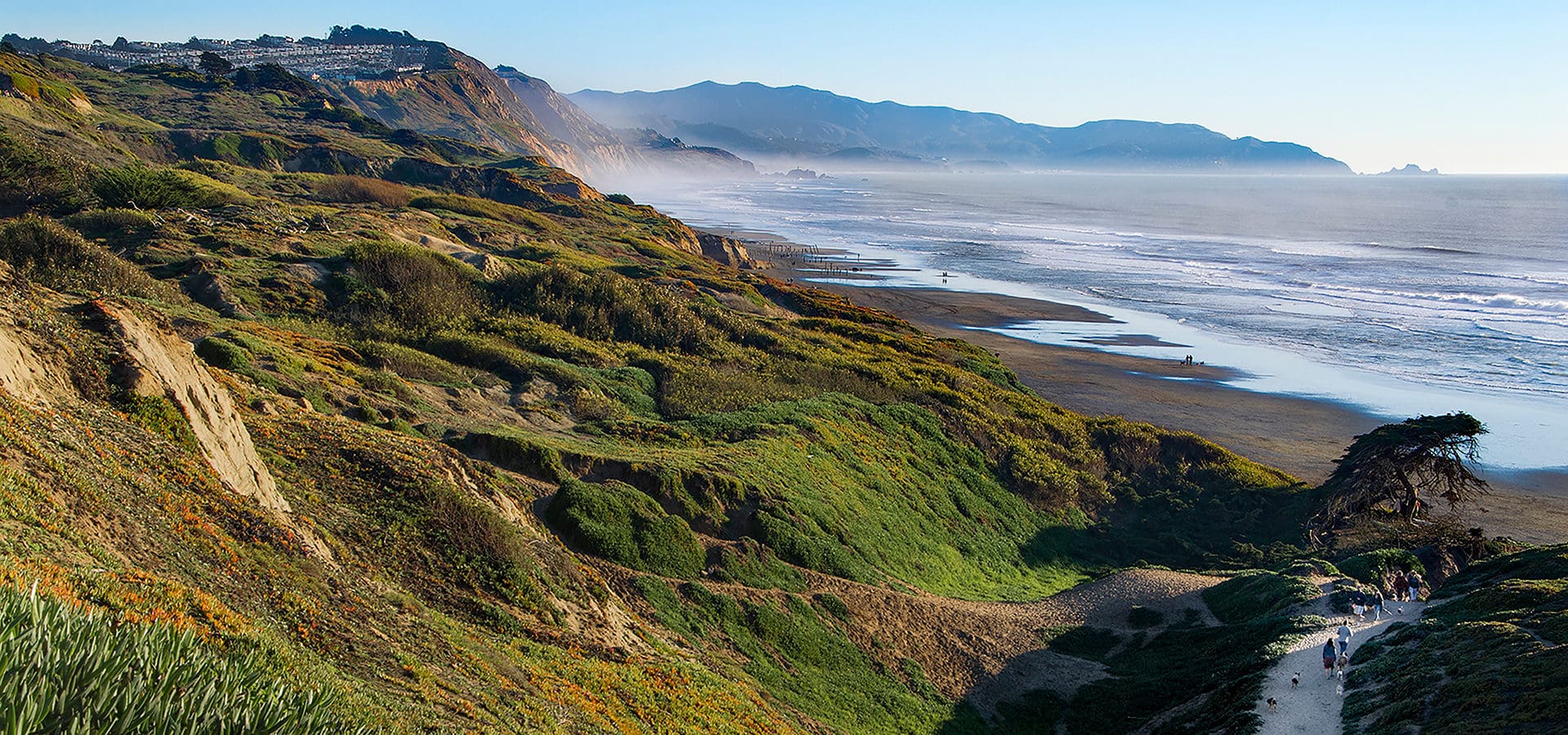
AboveFort Funston by Erica Davis
California, a wonderfully diverse mix of mountains, desert, forests and coastal splendor, will always be a hiker’s paradise. But where are the best places in the Golden State to roam? According to popular travel guide Lonely Planet, it depends on what you’re looking for. Here are some highlights from their recently debuted top 10:
ABOVE: photo by ddub3429
Rubicon Trail
A hugely scenic trail on Lake Tahoe’s western shore. It ribbons along the lakeshore for 4.5 mostly gentle miles from Vikingsholm Castle (add a mile for the downhill walk to the castle from Hwy 89) in Emerald Bay State Park, then leads past small coves perfect for taking a cooling dip, and treats you to great views along the way.
Add an extra mile to loop around and visit the restored historic lighthouse, a square wood-enclosed beacon (that looks a lot like an outhouse) constructed by the Coast Guard in 1916. Poised above 6800 feet, it’s the USA’s highest-elevation lighthouse.
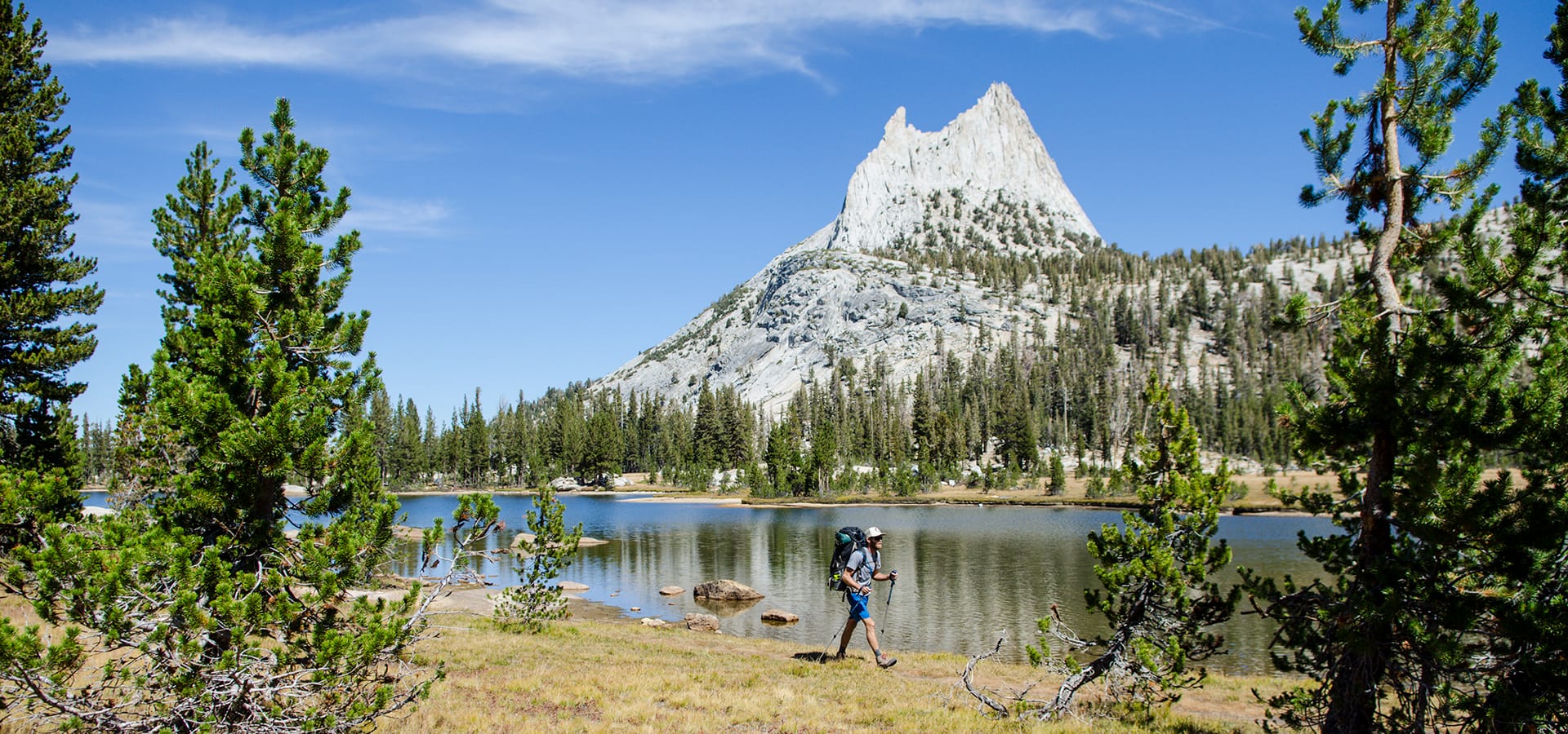
ABOVE: photo by Keri Oberly
Cathedral Lakes
If you can only manage one hike in Tuolumne, this should probably be it. Cathedral Lake (9588 feet), the lower of the two Cathedral Lakes, sits within a mind-blowing glacial cirque, a perfect amphitheater of granite capped by the iconic spire of nearby Cathedral Peak (10,911 feet). From the lake’s southwestern side, the granite drops steeply away, affording views as far as Tenaya Lake, whose blue waters shimmer in the distance.
Parking for the Cathedral Lake Trailhead is along the shoulder of Tioga Rd. Due to the popularity of this hike, parking spaces fill up fast, so arrive early or take the free shuttle.
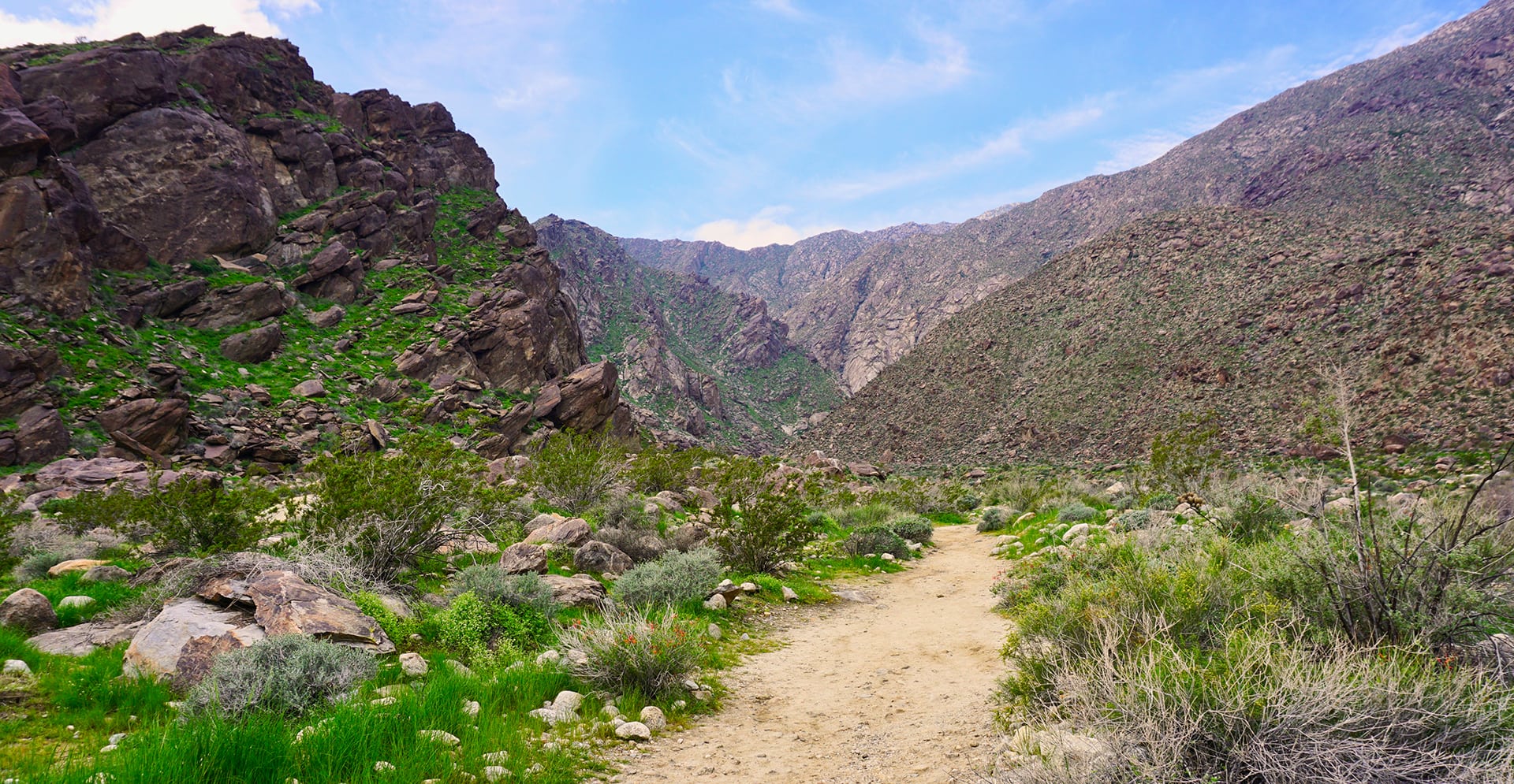
ABOVE: photo by Kim Grosz
Tahquitz Canyon
Considered historic and sacred by the Agua Caliente people, this gorgeous canyon, located in the Greater Palm Springs, can be explored via a fairly steep and rocky 1.8-mile (round-trip) hike culminating at a 60-foot waterfall. An interpretive trail guide that’s available at the visitor center points out rock art, viewpoints and native plant life. The center also has natural- and cultural-history exhibits and screenings of The Legend of Tahquitz video about an evil Cahuilla shaman.
Bring a picnic, water and be sure to wear sturdy footwear. If you don’t want to head out on your own, join a ranger-led 2½-hour hike departing four times daily (once daily July to September) from the visitor center.
Get all 10 hikes here.
Feelin’ Festive! A California Holiday Calendar
A selection of seasonal events coming soon to the Golden State.
These CA State Park Structures Give Us Serious Cabin fever
A challenge between local architecture students yields attractive results.
Orangetheory Fitness Delivers Special Offer for Golden Staters
Spring into #MoreLife and win 1 year of free unlimited classes.
Get the Latest Stories
