






Thanks to NASA, We Can Measure Our Snowpack More Accurately
Good news, it’s 2.5 times as much as same time last year.
-
CategoryExperiences, Sustainability, Tech
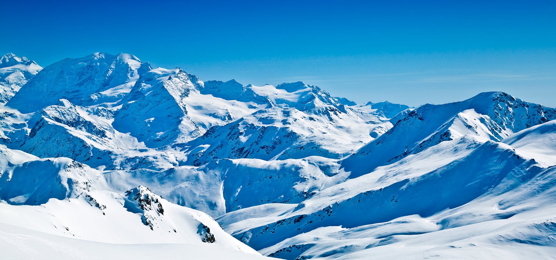
A Beechcraft Air King 90 takes off from Mammoth Yosemite Airport and glides over the Sierra Nevada. While the view is gorgeous, it’s actually there to collect important data, specifically how much water will come from this winter’s epic snowpack. Equipped with two sensor tools, the NASA aircraft analyzes both the snow’s depth for volume and reflectivity for how quickly it will melt. Together, that information helps calculate water content.
According to The Mercury News, “The survey, which began in 2013, currently covers the central Sierra, from Yosemite to Sequoia National Park, including the San Joaquin, Tuolumne, and Kings River basins. It depends on support from a coalition of local and regional water agencies, plus state funds from 2014’s Proposition 1, which authorized $7 billion in water infrastructure projects, because federal support has ceased.
“But a $150 million funding package now under consideration in Sacramento could expand the project, supporting flights over the entire Sierra Nevada as well as the Trinity Alps.”
Read more about the science of water surveying here.


The Race to Save California’s Endangered White Abalone
They are the only abalone species that live more than 200 feet deep.
Merry + Bright: An Uncommon Holiday Playlist
Sonic stocking stuffers with an alternative twist.